Oxfordshire is a truly ancient geographic entity. For over a thousand years it has embraced its little portion of England. It is fitting testament to this heritage that we should seek to mark out the extremities of our county in monumental form.
Such extremities include;
- North at Claydon;
- South at Caversham;
- West at Westwell; and
- East at Stokenchurch.
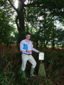
- Highest point at Shirburn, in the Chilterns;
- Lowest point at Henley, by the Thames; and
- Midpoint.
Over the coming years we will negotiate with interested parties (landowners, parish and district councils, financial backers, etc) as to the best way to proceed with this project. If you are interested in taking part, please do get in touch using details provided on this site.